
Snow Cover Shrinkage in Denali and Katmai NP&Pres., AK
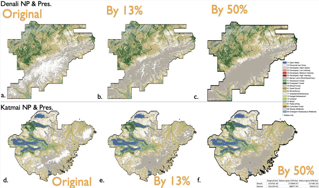
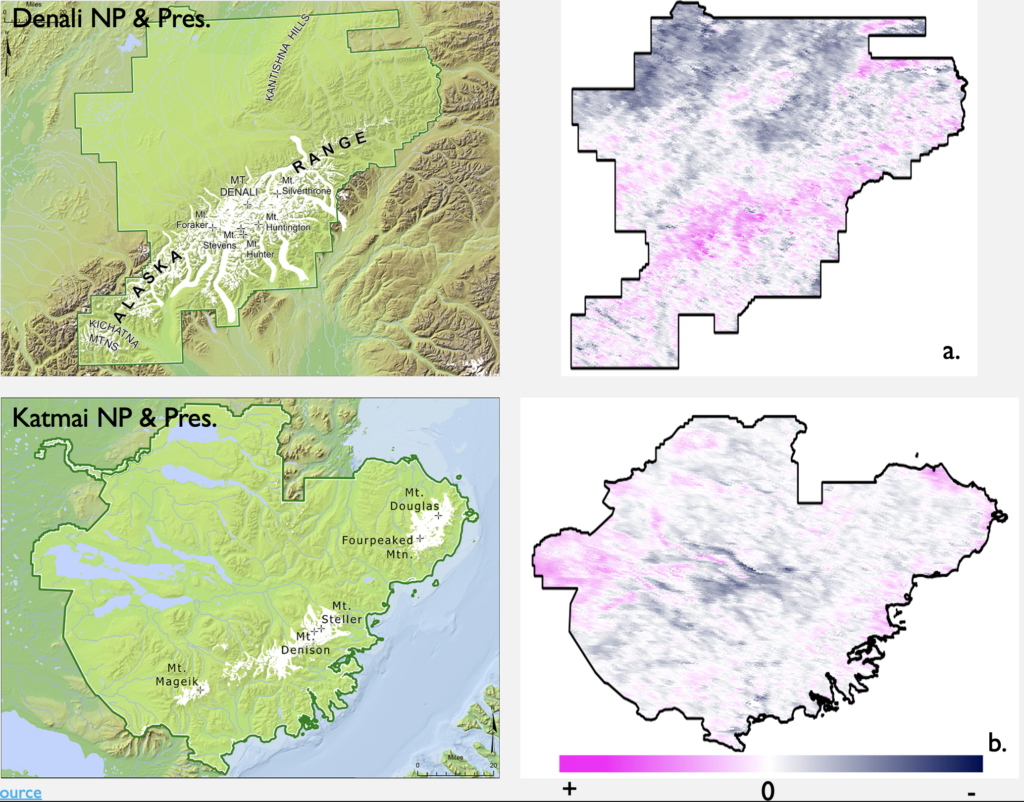
The objective of this project is to analyze and monitor the changes in snow cover in Denali and Katmai National Parks from 2000 to 2024 using remote sensing datasets. This study utilized snow cover products from two satellites: MODIS Terra and Landsat 8. Various software and online tools were employed, including ArcMap, InVEST, Google Earth Engine (GEE), and Giovanni. These tools facilitated the processing, analysis, and visualization of the remote sensing data.
Findings:
The snow coverage patterns in Denali and Katmai National Parks varied significantly from 2000 to 2024, reflecting changes in snowfall, glacier movement, and snowmelt patterns. A detailed analysis of the winter seasons from 2013 to 2023 revealed a noticeable retreat of snow, especially in valleys, mountain peaks, and lower elevations. Denali National Park, located inland, exhibited a slower rate of snow retreat compared to the coastal Katmai National Park. These findings suggest rising temperatures and changing precipitation patterns in the region. The study underscores the need for further research to fully understand the implications of snow cover changes on the local ecosystem and climate. Continuous monitoring is essential to develop effective adaptation and mitigation strategies in response to these environmental changes.
See the Swiping Visual:
https://ee-yxdu.projects.earthengine.app/view/katmai
